 ,
,
| ID | 1 |
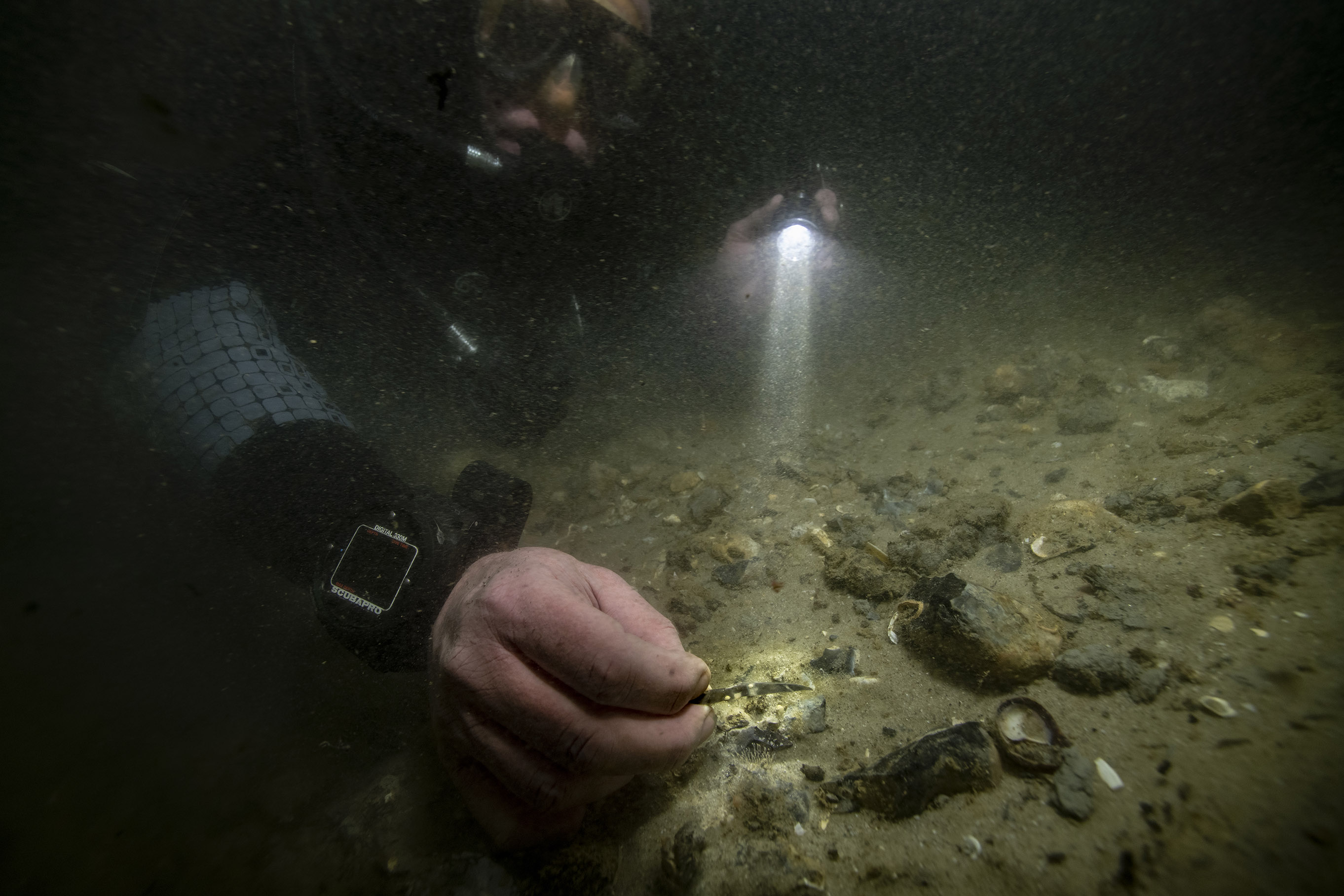
| Project Main Image | |
| Org ID | Maritime Archaeology Trust |
| Project Name | Bouldnor Cliff Mesolithic Occupation Site |
| Project URL | https://maritimearchaeologytrust.org/projects-research/bouldnor-cliff/ |
| Project Description | The submerged Mesolithic landscape at Bouldnor Cliff lies on the edge of the drowned palaeo-valley and is now 11m underwater, 1km east of Yarmouth on the Isle of Wight. It stretches for a further kilometre west to east and contains five known loci containing archaeological evidence. It lies within the Solent Maritime Special Area of Conservation and is in the Yarmouth to Cowes candidate Marine Conservation Zone. |
| Latitude (WGS84) | 50.1235 |
| Longitude (WGS84) | -1.2346 |
| Project Report | NULL |
| Video URL | NULL |
| Record Created | 2021-05-20 17:57:14 |
| Record Creator | brandon.mason@maritimearchaeology.co.uk |
| Location | United Kingdom |
| Project SDGs | , |